Satellite data, explained
Every article starts from something you can see from Sentinel, checks it against official sources, and ends where it matters: the decision that data makes possible. No hype, sources in plain view.
Copernicus · Sentinel-1 and 2 · open data
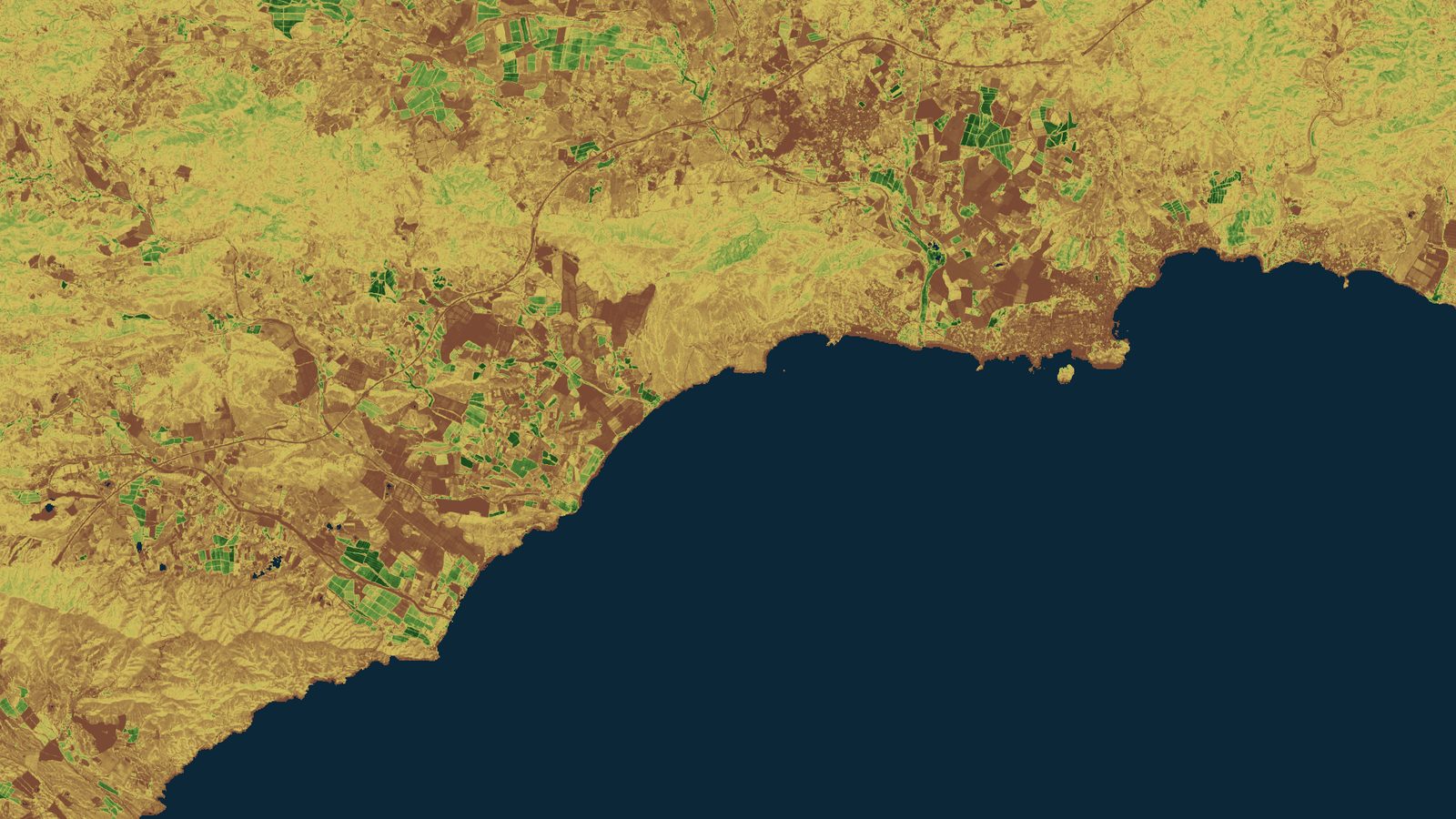
Sentinel-2 L2A · 29-05-2026 · Mazarron bay · vegetation index · Contains modified Copernicus Sentinel data [2026] · processed by T3 AISAT
Maritime
Why an air wave moves the sea more than it weighs
Three hectopascals move the sea three centimetres. We measured fifteen at Cartagena and sixty-two at Gandia. The difference is set by the map of the seabed.
Maritime
Meteotsunami at Cartagena: nobody saw the big day
On 28 August a red flag went up at La Manga and the sea pulled back several metres. Measured across the whole week, the biggest move came four days earlier.
Emergencies
Gredos, thirty days on: the small patches are still bare
We return to the Alberche valley with a stable Sentinel-2 scene from 28 August: of July's 1,229 small burn patches, 1,176 are still mostly charcoal.
Fisheries and aquaculture
Shrimp ponds: what a single image cannot count
We measured 39,149 hectares of enclosed water in the Guayas estuary with Sentinel-2, two thirds of the tidal body itself, and one scene alone misses 13 percent.
Emergencies
Small fires: what Europe's headline number misses
We used Sentinel-2 to measure thirteen days of burning in one district of Avila, Spain: 11,052 hectares in 1,269 patches, and 96 out of 100 are under 30 ha.
Environment and water
Low water on the Rhine: satellites see width, not depth
The Waal holds 1,232 hectares of water, 18 percent below the mean of the three previous summers, measured with Sentinel-2 along 38.8 km of river.
Emergencies and climate
Sentinel-2: measuring a storm's height from its shadow
On 21-07-2026 Sentinel-2 caught a V-shaped storm over the Veneto. We measured how tall its anvil was from the shadow it casts on the Po plain.
Environment and water
How much really burned: the NBR of the Orés fire
The Cinco Villas fire left a burn scar that true color barely shows. With the Sentinel-2 NBR index we measured how much burned and how severely.
Environment and water
Sentinel-2 false color: which bands turn the ice blue
ESA describes five colors in a false color image without naming the bands. We rebuilt the scene from Sentinel-2 and measured a recipe that reproduces them.
Maritime
Guinea-Bissau: the tide is not in the Sentinel-2 photo
ESA and NASA both published Guinea-Bissau on the same day. We rebuilt the Geba estuary from Sentinel-2 and measured how far the tide shifts between passes.
Water
Starina and Sentinel-2: measuring a reservoir over time
The EU space programme published Starina reservoir as seen by Sentinel-2. We rebuilt the scene and searched 66 archive dates for its water surface.
Agrifood
Cork from Sentinel-2: the European farmland mosaic
An image of Cork picked by the EU space program hides a portrait of European farming. Here is what a patchwork of fields tells you when seen at 10 meters.
Environment and water
Egypt in red: why a satellite color is a decision
ESA published the Egyptian desert with vegetation in red. It is not a filter, it is a technical decision. We recreated the scene in true color to show the difference.
How we write this
We start from something real that the Sentinel satellites can see. Every figure you read has a verified official source behind it, with the exact quote and a link. The images we publish are ones we recreate ourselves from the Copernicus Data Space Ecosystem with our own processing. We never copy someone else's image, and we always include the attribution. If a fact cannot be verified, it does not go in.
Want it to reach you instead? Follow theblog RSS feed.
What does Sentinel data say about your land?
If an article got you thinking about your fields, your basin, or your network, tell us and we will show you what can be read from orbit.
Talk to the team