Galileo HAS: decimeters for free, on any continent

Are you paying an RTK subscription for accuracy Europe already broadcasts for free? Galileo transmits high-accuracy corrections by signal and by internet, with global coverage. We integrate them into your machinery, your fleet, or your app.

HAS Initial Service since 01-2023 · target <20 cm (95%) · global and free

The data that makes it possible

The Galileo High Accuracy Service and its program companions, with their exact status, including what is not declared yet.

Galileo HAS

Initial Service operational since January 2023: free PPP corrections through the E6-B signal and the internet, for Galileo and GPS, targeting less than 20 cm horizontal (95%). The SL1 service level is global: it works on any continent.

<20 cm H · <40 cm V (95%) · convergence <300 s
Full Service on the horizon

The official roadmap places Full Service capacity in the last quarter of 2026 and its formal declaration between Q1 and Q2 of 2027. Today it remains an Initial Service.

declaration expected Q1-Q2 2027

OSNMA and EGNOS

Since July 2025, Galileo is the first GNSS in the world with navigation message authentication in its open service (OSNMA): the defense against spoofing. EGNOS adds European SBAS integrity.

OSNMA operational since 07-24-2025

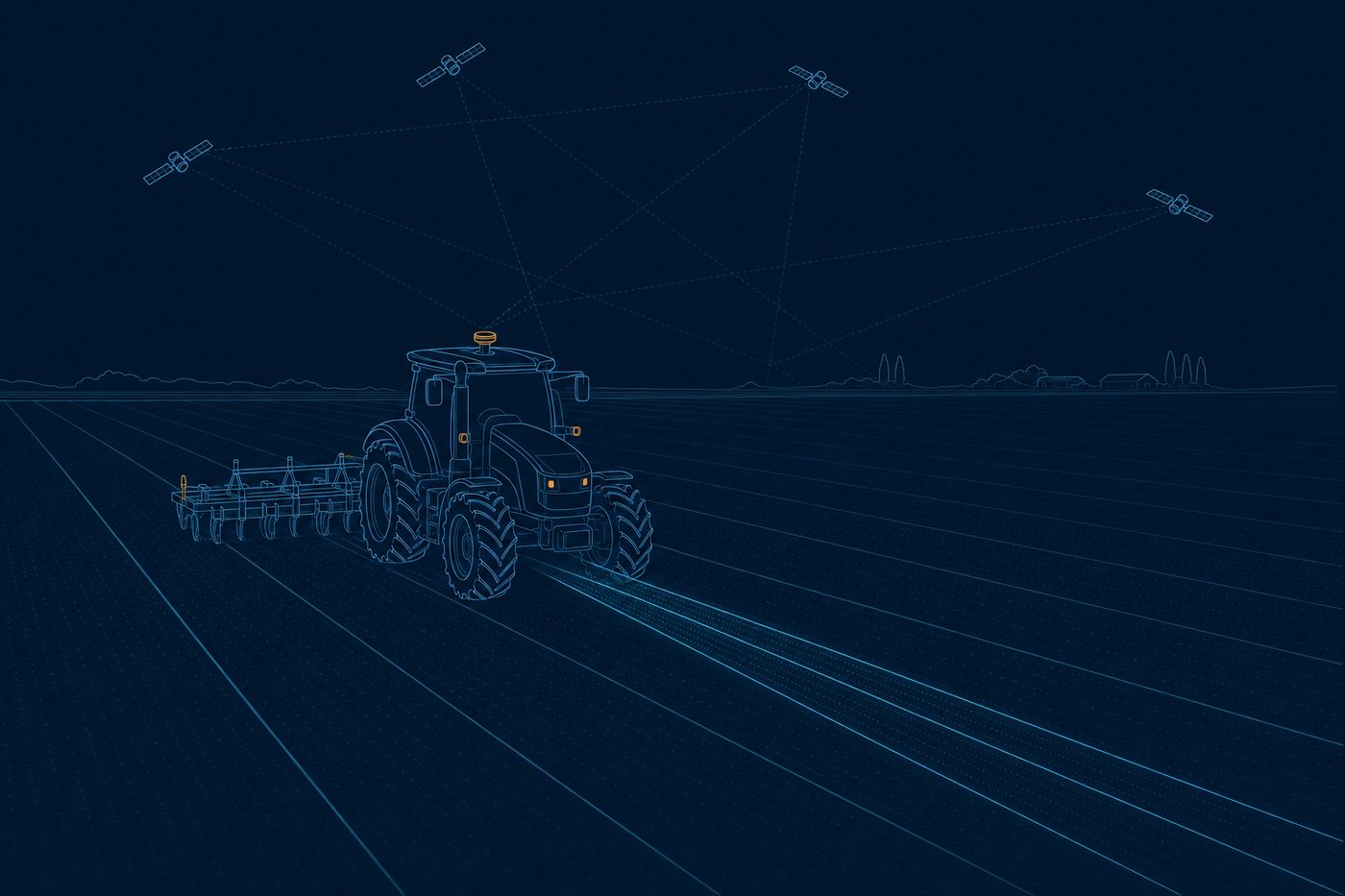
Technical illustration: a tractor with a GNSS antenna drives perfectly straight lines guided by satellites
Illustration: decimeter positioning from the satellite own corrections.

What we build for you

The full integration: selection of a compatible receiver; HAS corrections through E6 or NTRIP, depending on your operation; OSNMA where authenticity matters (fleets, tachographs, critical infrastructure); and the position served to your software through an API or MCP. On farm machinery, on vehicles, or in a field app: decimeter accuracy with no monthly fee, on a public European service. And where a decimeter is not enough, we will say so: some operations require a paid centimeter service.

Decimeter guidance with no fee, from the satellite itself

PPP (precise point positioning) is the technique that reaches decimeters without setting up a local base: the corrections travel in Galileo's own E6-B signal, free and worldwide. We integrate them into your receiver, which converges in a few minutes, and your machinery guides or records at about twenty centimeters. No per-hectare subscription, on a public European service.

Galileo HAS · PPP ~20 cm · global and free

A position authenticated against spoofing

OSNMA is the signature Galileo puts on its navigation message so the receiver knows the signal is the real one and not an imitation. We turn it on where authenticity matters (fleets, tachographs, critical infrastructure), so an attempt to fake the position is caught instead of slipping through. Your location stops being a value anyone can forge.

OSNMA · signal authentication · since 07-2025

Corrections by E6 or internet, and integration with your RTK

Depending on your operation, we serve HAS corrections through the E6 signal or over the internet via NTRIP, and if you already have an RTK base we use it where it delivers the centimeter. The system picks the best source in each zone, so the precise position does not drop when one path fails. We deliver it to your software through an API or MCP, where your team works.

HAS by E6 or NTRIP · integrates your RTK

Who it is for

How much do you pay for accuracy today?

Tell us your equipment and your operation. We will tell you if Galileo HAS covers your case for free, or if your tolerance requires something else.

Talk to the team