Tourism and health: the environment as operational data

What air people breathe, how the sea looks, and which environmental risk each destination faces: daily decisions for tourism managers and public health teams that can already rest on operational European services.

Sentinel-4: hourly air quality over Europe since 07-2026

What you can do today

Spain is a world tourism power, and the tourism and health segment is validated by the ESA applications program, yet it remains almost empty of local offerings in Spain. This is what European services make possible today:

Air quality: from daily to hourly

Sentinel-5P monitors NO₂, O₃, SO₂, CO, and CH₄ with daily global coverage since April 2018, including near-real-time products. With MTG-S1 in service since July 2026, Sentinel-4 adds hourly pollutant data over Europe: the jump from daily trends to same-day alerts.

Sentinel-4: hourly over Europe since 07-2026
Coasts and coastal weather

Copernicus Marine offers open sea temperature, chlorophyll, currents, and waves with published use cases; the EEA publishes the status of water bodies (WISE, CC BY 4.0); Meteoalarm aggregates official alerts from more than 40 countries, and MTG images every 10 minutes plus its lightning detector enable hyperlocal storm alerts for coasts and ports.

Meteoalarm: alerts from 40+ countries

Active tourism validated by ESA

The ESA business applications program (€500 million invested in more than 1,200 companies) has validated real tourism and sport cases: AI route recommenders on Copernicus data (Trailblaze), snow conditions (DeFROST), and GNSS-based geolocated leisure.

ESA BASS: €500M · 1,200+ companies

Environmental health

On top of Sentinel-5P and CAMS, teams build personalized air alert apps and clinical demonstrators for respiratory health (Copernicus Healthcare Demonstrator); VectorNet crosses tiger mosquito data with climate and satellite data: a concrete niche for municipalities on the Spanish Levante coast.

ESA cases: air · pollen · geofencing

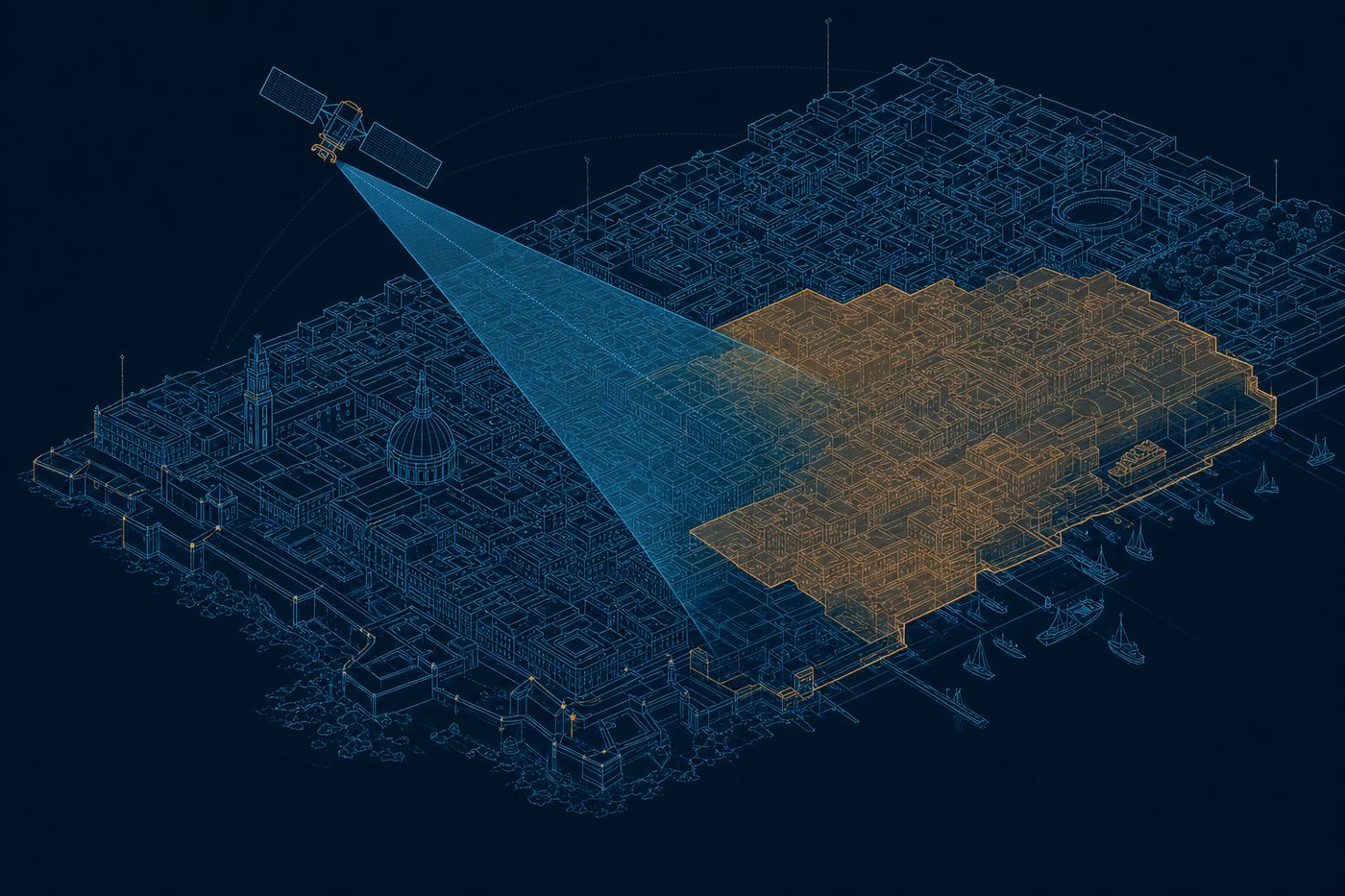
Technical illustration: a Mediterranean city with a haze layer over a district and a satellite sweeping the scene
Illustration: a city air quality seen from the satellite.

How we make it land

We turn these services into destination products: the air quality panel of a tourism municipality, hyperlocal coastal weather for a marina, or the app that puts Copernicus data in front of visitors. Always on operational services, with the exact status of every source stated, so you know from day one what the satellite delivers.

Bathing waters and blooms watched from space

Sentinel-2 and Sentinel-3 measure the color of the water over a beach or a cove: chlorophyll (the green pigment of microalgae) and turbidity. When chlorophyll rises, the system flags a possible algal bloom before it is visible to the eye. The manager reinforces the official sampling, decides on the flag, and warns bathers with time to spare, not once the problem is already at the shore.

Sentinel-2/3 · chlorophyll and turbidity · few-day revisit

Thermal comfort and shade for the visitor

We combine land surface temperature (LST, how hot the street is as seen from the satellite, from Landsat) with the 3D model of the city built from LiDAR (a laser scan of the terrain and the buildings) to know where shade falls at each hour. The output is a set of cool routes, locations for shade points, and time slots for outdoor summer events. The destination looks after visitors and cuts the risk of heat stress.

Landsat · LST (land surface temperature) · ~100 m

Air and pollen for destinations and events

We combine the NO₂ and particulates that Sentinel-5P monitors with the CAMS forecast (the European service that predicts air quality and also pollen several days ahead). The output is a daily index per destination and an alert for sensitive people. With it, activities get scheduled, the start time of a sports event is chosen, and the destination shows an environmental figure that adds to its reputation.

CAMS · air and pollen · 4-day forecast

What does the satellite say about your destination?

Tell us about your beach, your city, or your resort. We will tell you which European dataset describes it every day, and how to put it in front of your visitors.

Talk to the team