Capabilities
Five ways to turn data (from satellites, from the field, from your own operation) into software that helps you decide better. All five share one method: fully integrated solutions, from research to deployment.
AI · Earth observation · GNSS · DSS · custom software
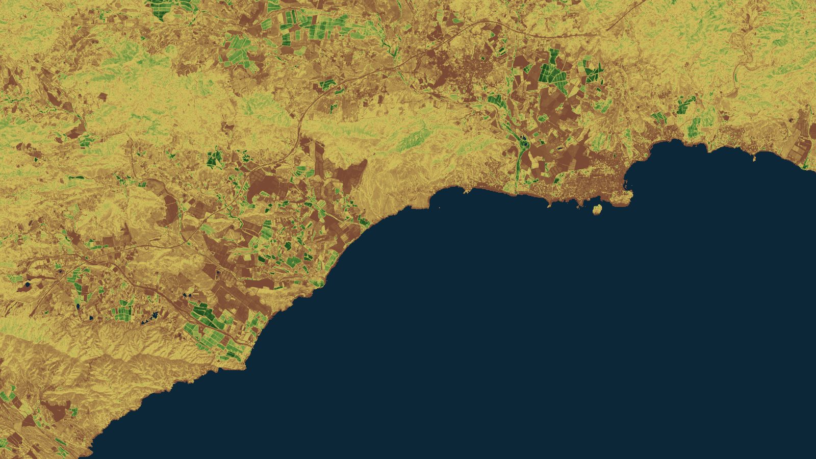
Sentinel-2 L2A · 29-05-2026 · Mazarrón Bay (Spain) · vegetation index · Contains modified Copernicus Sentinel data [2026] · processed by T3 AISAT
What we build
We design the complete, tailored system your operation needs, and we stay until it works in production. Each capability has its own page, with its real technical status, caveats included.
Applied artificial intelligence
Multimodal vision, AI agents, and MCP integration, with work inside your own environment: from pilot to production.
vision · agents · MCP
Earth observation and remote sensing
Operational monitoring of land, sea, and atmosphere on public constellations, with in-house processing and every scene identified.
Copernicus · Landsat · MTG
High-accuracy GNSS
Galileo HAS (Initial Service today), OSNMA, EGNOS, and multi-frequency receivers, integrated into machinery, fleets, and field apps.
OSNMA in operation since 07-2025
Decision support systems
Systems that fuse satellite data, sensors, and your own sources via API and MCP, and return actionable recommendations.
decision intelligence
Why we offer them together
None of these capabilities works alone. The pattern that joins them is multi-scale:the satellite detects and GNSS takes the action to the exact spot. A decision support system (built as custom software, with AI where it helps) turns all that data into a recommendation someone can act on. The value is in the full chain, not in the parts.
That is why we work from research to deployment: we understand the problem, we choose the data and the method that physics and evidence require, and we deliver the system where you already work, with every technical claim at its real level of maturity.
Systems already in operation
The four most recent projects by the team that today forms T3 AISAT, within European and national R&D programs.
TELENITRO · LINOMAR · OCB · MICROMAR
Not sure which one you need?
Even better: tell us the problem, not the technology. We will propose the smallest combination that solves it, with data and timelines.
Talk to the team