Operational monitoring
Time series of spectral indices over your fields, water bodies, or infrastructure, processed continuously and delivered by API or inside your DSS.
Public space programs produce more open data every day than almost any company uses. Our job is to turn that data into operational monitoring of your land, your sea, or your atmosphere, with in-house processing and every scene identified.
Copernicus · Landsat · MTG
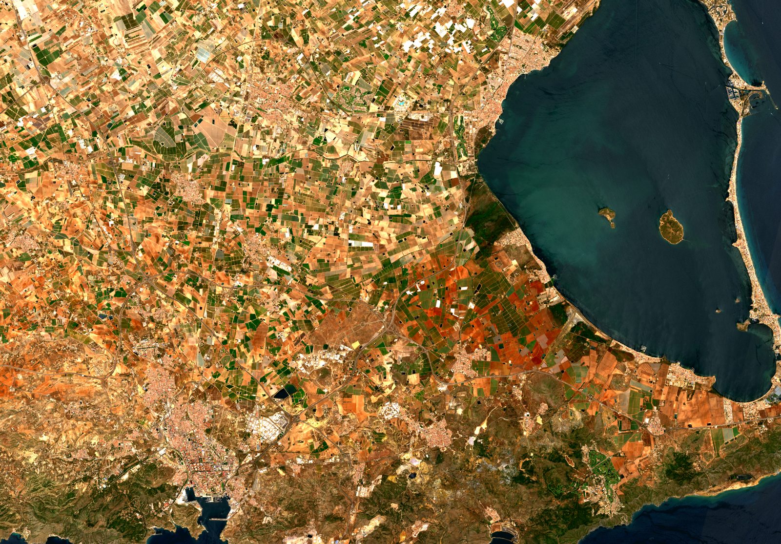
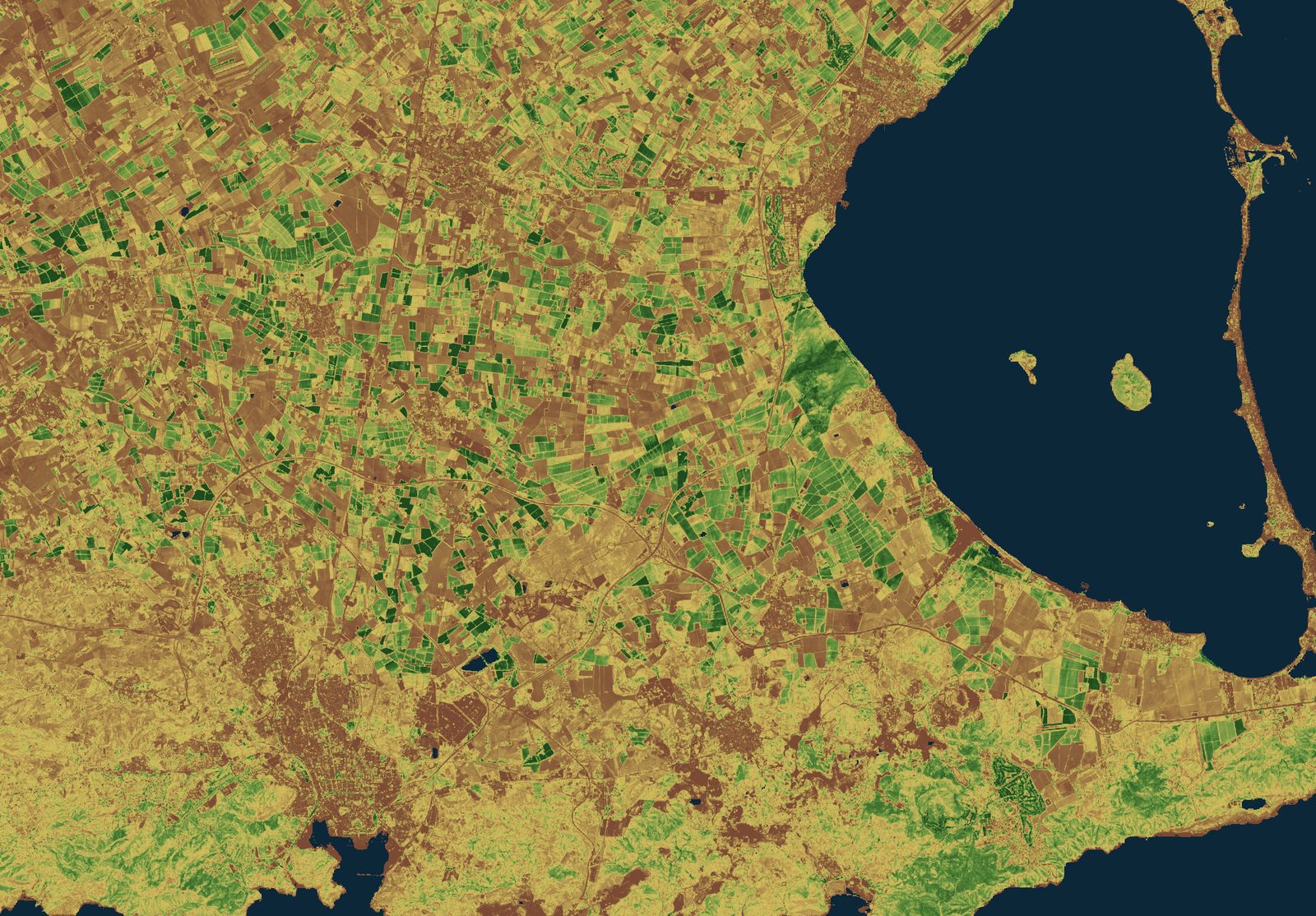
We deliver the complete system that processes the images, combines them with your data, and answers a concrete question about your operation. The hero image of this website (Sentinel-2 over Mazarrón Bay, processed by us) is exactly that pipeline.
Time series of spectral indices over your fields, water bodies, or infrastructure, processed continuously and delivered by API or inside your DSS.
Crop delineation, water extent, burned area, or land use change, with radar or optical data, whichever the physics of the problem requires.
From index to indicator: we combine satellite data with weather, field sensors, and your own records to produce variables people can act on.
Every problem has its sensor. We work with the public constellations, European and American, and we design each service to be "constellation-proof": multi-mission, on open data guaranteed by public programs. Each card shows the real status of the mission, including the caveats; precision is part of the service.
Constellation renewed in 2026 (1C + 1D): it sees at night and through clouds. Ground deformation, floods, ice, and spills.
6-day nominal revisit
Three satellites acquiring data (2B, 2C, and the 2A extension campaign): vegetation, water, and soil indices at 10 m.
10 m · 5-day revisit
Sea surface temperature, ocean color, and altimetry with 3A + 3B; Sentinel-3C is planned for launch in September 2026.
OLCI < 2 days at equator
Daily global air quality (NO₂, O₃, SO₂, CO, CH₄) since 2018, reinforced by Sentinel-5, launched in August 2025.
daily global coverage
Reference sea level record: Michael Freilich in operation and Sentinel-6B (Nov 2025) in tandem cross-calibration.
global reference series
MTG-I1 operational and MTG-S1 in service since July 2026: soundings every 30 minutes and hourly air quality over Europe (Sentinel-4).
soundings every 30 min
The 50+ year historical series at 30 m, free of charge, with 8-day combined revisit. Landsat Next is still under review.
30 m · 8-day combined
Terra and Aqua will stop operating between late 2026 and early 2027: we design every service to be "VIIRS-ready" from day one.
2026-2027 transition
We work on the Copernicus Data Space Ecosystem with its production APIs: STAC catalog, OData, openEO (an official OGC standard since May 2026) and the Process API for processing at the source. This means your service does not depend on manual downloads or a middleman provider: it consumes the European program's data directly, with full traceability of scene, date, and processing.
What about Earth observation foundation models? We use them where they help (fast starts with few labels, similarity search on embeddings), but independent benchmarks do not yet show they replace a well-trained supervised model. We will tell you which technique fits your case, based on the evidence.
The remote sensing in these projects, from vegetation index to carbon balance, was designed and built by the team that today forms T3 AISAT:
Tell us your territory and your question. We will tell you which constellation answers it, at what resolution, and how often.
Talk to the team