Solutions
Every solution in this catalog answers one concrete decision and names the public European data source that feeds it. Each one is a system we build for you, on services that operate today.
10 solutions · public European data · built for you
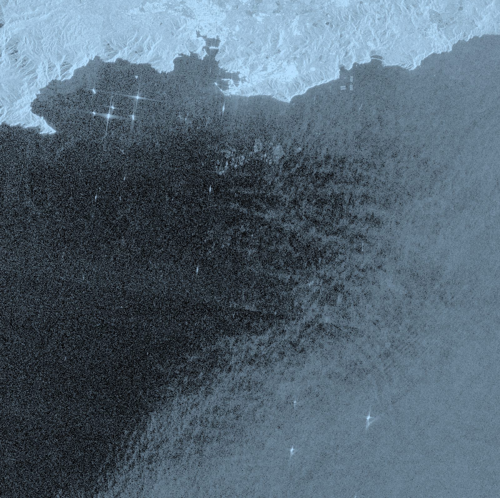
Sentinel-1 GRD · 07-2026 mosaic · Murcia coast (Spain) · VV radar · Contains modified Copernicus Sentinel data [2026] · processed by T3 AISAT
A catalog that grows with the data
Europe produces dozens of open services and datasets (Copernicus, Galileo, EUMETSAT, sector agencies) that almost no company uses. Our job is to turn them into software built for you: monitoring, alerts, and integration with your own systems through an API or MCP. Each card states which decision it answers and which data source supports it, with its real status.
Digital farm logbook
Spain’s electronic pesticide record becomes mandatory on January 1, 2027. We build the logbook that records in the field, georeferenced, and syncs with SIEX.
Royal Decree 34/2025 · deadline 1-1-2027
CAP area monitoring
The CAP already watches every parcel with Sentinel. Reproduce the traffic light before the administration does, and keep the appeal ready with geotagged photos.
AMS · Sentinel-1/2 traffic light per parcel
Satellite-guided irrigation
When to irrigate and how much, in liters per hectare: official SiAR evapotranspiration crossed with what Sentinel-2 sees in your crop.
SiAR (>500 stations) + Sentinel-2 at 10 m
Drought early warning
European drought indices (CDI, SPI/SPEI, soil moisture) watched over your district, with an alert when they change class.
EDO · CDI 3 times/month · CC BY 4.0
Flood risk mapping
Exposure, early warning, and verification: water extent mapped automatically by radar, and flood forecasts up to 10 days ahead.
GFM (Sentinel-1) · EFAS up to 10 days
Ground motion (InSAR)
Millimeters per year over your bridges, dams, railways, or neighborhoods, measured by the European EGMS service and turned into alerts per asset.
EGMS · millimeter scale · annual update
Marine spill monitoring
Radar detection of spills, day and night, over your port or stretch of coast, complementary to EMSA’s institutional service.
CleanSeaNet since 2007 · >3,000 images/year
Solar nowcasting
Irradiance forecasts 0 to 4 hours ahead with the new Meteosat: one image of Europe every 10 minutes over your PV plant.
MTG · image every 10 min · CC BY 4.0
Urban air quality
NO₂ and ozone trends and alerts for your city or low-emission zone: from daily global coverage to hourly data over Europe.
Sentinel-5P daily · Sentinel-4 hourly (07-2026)
Galileo HAS precision
Free, global, decimeter-level positioning with signal authentication, integrated into your machinery, your fleet, or your app.
target <20 cm (95%) · OSNMA operational
From data to value, in numbers
The global market tells the same story as this catalog: in Earth observation, most of the value sits in the services built on top of the data, not in the data itself. And EUSPA expects that gap to keep growing through the next decade.
Is your case not here?
This catalog grows. The research behind it documents many more applications than the ten published here. Tell us your decision and we will tell you which European data source answers it.
Talk to the team