Sectors
European space agencies document hundreds of applications per sector that most companies do not use yet. Here they are, organized the way the market itself organizes them, and brought down to your operation.
EU Space Market Report 2026 · 16 official segments · we work in 14
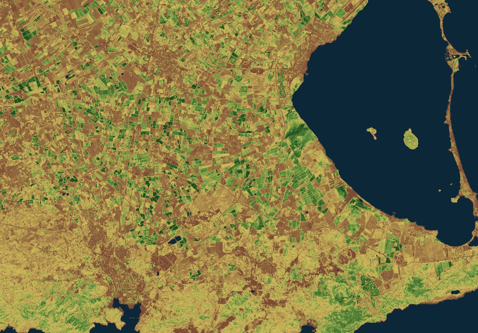
Sentinel-2 L2A · 29-05-2026 · Cartagena plain (Spain) · vegetation index · Contains modified Copernicus Sentinel data [2026] · processed by T3 AISAT
A map of the space market
The taxonomy comes from the EU Space Market Report 2026 by EUSPA, which maps the space market into 16 official segments. We work in 14 of them (we leave out the "Space" segment and border surveillance, where the data is restricted). For each sector we tell you what you can do today, with which European service, and how mature it really is.
Agrifood
Irrigation and nitrogen guided by Sentinel-2 and Galileo HAS, CAP monitoring, and digital farm records, field by field.
Forestry
Daily fire danger from EFFIS, forest monitoring with Sentinel-1 and 2, and deforestation traceability for EUDR due diligence.
Fisheries and aquaculture
Sea surface temperature and chlorophyll from Copernicus Marine to decide where to operate and where to place aquaculture.
Maritime
Radar spill detection day and night, drift forecasting with Copernicus Marine currents, and 10-day sea state.
Environment and water
Water body status, reservoirs measured since 1984, and drought early warning with public European indices.
Climate
ERA5 reanalysis from 1940 and CMIP6/CORDEX projections, turned into adaptation and physical-risk decisions.
Emergencies
Copernicus rapid mapping, flood forecasts up to 10 days with EFAS, and automatic flood delineation with Sentinel-1.
Energy
Solar production forecasting with CAMS, site selection, and grid synchronization with the Galileo timing service.
Infrastructure
Millimeter-scale ground motion (InSAR, EGMS) over dams, bridges, and railways, updated every year.
Transport and logistics
eCall with Galileo, satellite tolling, rail visibility, and emission dashboards for low-emission zones with CAMS data.
Insurance and finance
Catastrophe risk by portfolio, parametric indices, and claims verification with before-and-after imagery.
Urban planning and heritage
Urban structure with Sentinel-2, air quality by district, and subsidence watch over built heritage.
Tourism and health
Location-based services with Galileo in the visitor’s phone, plus air quality and pollen alerts with CAMS.
Public sector
From CAP monitoring to civil protection: we integrate European services into government systems.
The shared engine, in numbers
Behind all 14 sectors runs the same engine: the Copernicus Sentinel missions, which publish their output as open data at industrial scale. A "product" is a data file ready to download and use: an image of a specific area at a specific moment (Sentinel-1 and 2), or a measurement of sea temperature, ocean color, or air quality (Sentinel-3 and 5P). This is what each mission made public in 2024 alone, and it is where the renders and indices on this website come from.
Not sure which sector fits your problem?
Even better: tell us the decision you want to improve. We will tell you which data answers it, and from which angle.
Talk to the team