Transport and logistics: know where, with proof

Where every vehicle, wagon, and load is (and how much that position can be trusted) is the base decision of logistics. European navigation services answer it today, free of charge.

GNSS: from €300 billion (2024) to €580 billion expected in 2034

What you can do today

GNSS is the largest business in space, and its European services (Galileo and EGNOS) are broadcast at no cost to the user. This is what a fleet can use right now, with the exact status of each service:

Fleets with EGNOS and Galileo

Galileo open positioning and EGNOS corrections are free, and they support European fleet telematics: eCall, geofencing for dangerous goods (ADR), and emission dashboards with CAMS data for low-emission zones, already declared in more than 150 Spanish municipalities.

Galileo OS and EGNOS OS: free
High accuracy with Galileo HAS

The Galileo High Accuracy Service has been in Initial Service since January 2023: free PPP corrections over the E6 signal and the internet, with an official target of 20 cm horizontal and 40 cm vertical (95%) and convergence under 100 s in Europe. The Full Service is not declared yet: its declaration is planned for the first half of 2027.

target: 20 cm H · 40 cm V (95%)

Rail asset tracking

More than 150,000 rail wagons in Europe already run with tracking, and train positioning with Galileo, EGNOS, and sensors points to certifiable ERTMS localization without physical balises. Sentinel-1 and Sentinel-2 add monitoring of vegetation and landslides along the track.

150,000+ wagons with tracking

A position you can trust

GPS signal loss events grew 220% between 2021 and 2024, according to IATA and EASA. Galileo OSNMA, operational since July 2025, authenticates the navigation message against spoofing: a real argument for smart tachographs, critical assets, and position evidence.

OSNMA operational since 07-24-2025

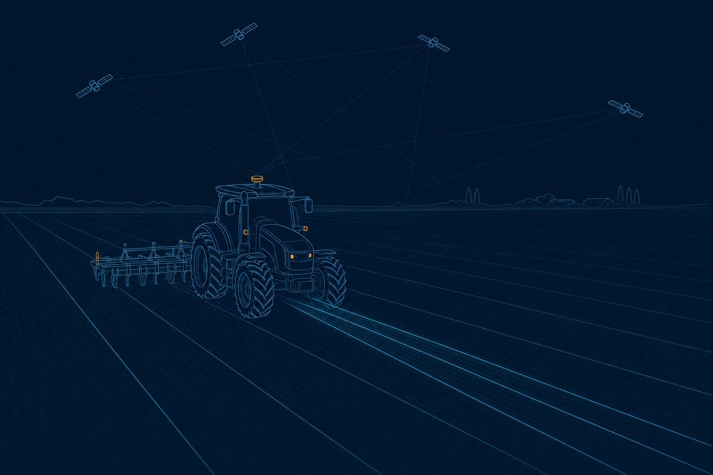
Technical illustration: a tractor with a GNSS antenna drives perfectly straight lines guided by satellites
Illustration: machine and fleet guidance with centimeter precision, no base stations.

How we make it land

We integrate the receiver, the corrections, and the authentication into your fleet software, and we tell you which accuracy is realistic in each case, measured in real operating conditions. And since logistics is more than position: with Meteoalarm, the official weather alerts of more than 40 countries under a CC BY 4.0 license, we build multi-country alert panels for corridors such as Murcia-Perpignan-Rotterdam.

Decimeters on the machine, with no service fee

The receiver on your truck or machinery gets the free Galileo HAS corrections over the E6 signal or the internet and applies PPP (Precise Point Positioning: it sharpens the position with global corrections, with no base station needed nearby). With the 20 cm target, the machine can guide itself, count passes, and respect fine geofences. That is decimeter accuracy with global coverage and no monthly subscription.

Galileo HAS · PPP · 20 cm target (95%)

A position authenticated against spoofing

Galileo OSNMA adds a signature inside the signal itself (a mark that lets you check the message comes from the real satellite and not from a fake transmitter). The receiver validates that signature before accepting the position and rejects spoofed signals. This is the argument for smart tachographs, tolls, cold chain, and any position evidence that has to hold up in an audit or in court.

Galileo OSNMA · operational since 2025

Port operating windows from the sea state

We combine the wave, current, and wind forecast from Copernicus Marine with the thresholds of your quay or crane, and add the official alerts from Meteoalarm. The output is a calendar of safe windows to berth, load, and depart. Fewer waits, fewer demurrage charges, and operating decisions based on real environment data instead of a last-minute call.

Copernicus Marine · waves and currents · operational forecast

Does your fleet know where it is, and can it prove it?

Tell us about your operation. We will tell you which European service fits, which accuracy is realistic, and how to integrate it into your fleet software.

Talk to the team