Camera with built-in GPS
Coordinates, date and street address printed on the photo and the video. Photos also carry an embedded map marking where the capture was taken.
A camera that writes where and when inside the photo itself, and the Spanish cadastre over satellite imagery. What we build with satellite data for a company, in the pocket of whoever walks the field.
Android and iOS · free download · shares its name with the company
Free, with no in-app purchases. Listed under Productivity on Google Play.
Two things that solve the same problem: proving where you stood when you took the photo, and knowing which plot it was without looking it up afterwards.
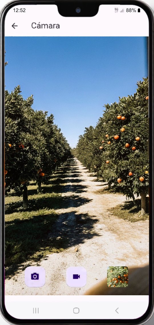
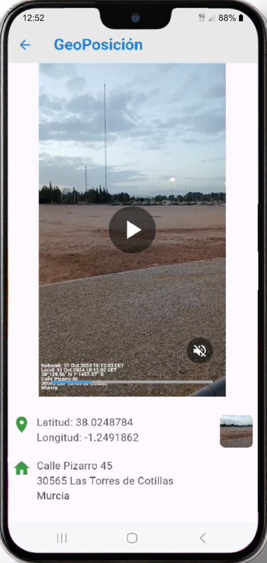
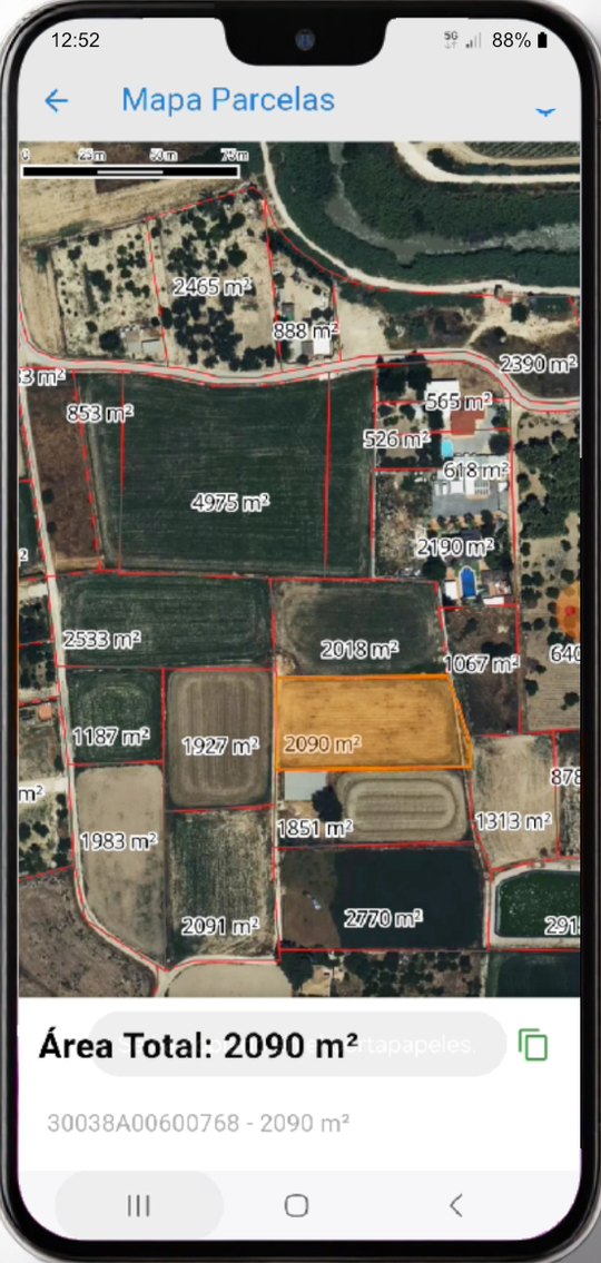
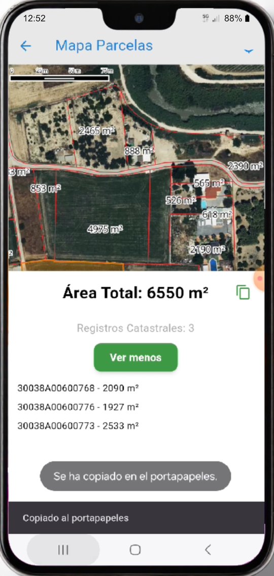
Screenshots published on the app store listing. The interface shown is the Spanish one.
Coordinates, date and street address printed on the photo and the video. Photos also carry an embedded map marking where the capture was taken.
Interactive maps with the area and the cadastral reference of each plot, and the total of whatever you select.
The gallery shows every photo and video with a map overlaid on the spot where it was taken, switching between satellite and plan views.
Date, coordinates and address are written into the JPG or the MP4 itself, so the evidence travels with the file and not on a separate sheet.
A radar-style view of the Galileo satellites around you at that moment. Geolocation for the captures is resolved by the native iOS and Android libraries; this is the window onto the constellation behind them.
A photograph carrying the date, the coordinates and the address inside the file is evidence that does not rest on anyone’s word.
Document a plot, an incident or a treatment with the cadastral reference in front of you, without going back to the office to cross-check.
Inspections, construction follow-up and repeat visits to the same spot, with a record you can compare over time.
The app came before the company and gave it its name, not the other way round. It is the pocket-sized version of the same work we do at regional scale: placing a piece of data on the ground and making that position checkable.
Galileo HAS, EGNOS and receiver integration: the precision positioning we work with at company scale.
The same idea applied to the mandatory record of treatments: the data on its plot and with its date.
How geotagged evidence is used in loss adjusting and claims handling.
If the problem is placing and checking data on the ground at company scale, the app is the small sample. Tell us your case.
Talk to the team